
USGS Coordination Grant Awarded for Measuring River Flooding Events
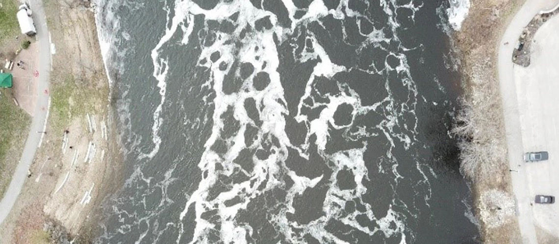
Androscoggin River, Maine
USGS Coordination Grant Awarded for Measuring River Flooding Events
As Arizona’s federally authorized Water Resources Research Institute, the WRRC helps administer USGS-funded Coordination Grants under the Water Resources Research Act. Dr. Jennifer Duan, professor of Hydraulics and Water Resource Engineering at the University of Arizona, has received a USGS Coordination Grant for her project titled “Standardizing Software and Processes for Image Velocimetry Gauging Methods.” Duan's abstract states "Obtaining river discharge measurements during flooding events has long been a challenging and dangerous task in the Southwestern United States where flashy flow has high velocity and high sediment concentration." Image velocimetry methods offer the ability to estimate flow discharge through images captured remotely from cameras on the ground or mounted on unoccupied aircraft systems or satellites. Using remotely collected images enables researchers to estimate river flow discharge using imaging analytical methods, including PIV, PTV, and STIV. The project aims to evaluate and validate the applicability and accuracy of these approaches. A series of video images from reliable sources will be examined using different approaches. The result is a standardized procedure for processing remotely collected images for flow discharge estimates. Dr. Duan is joined by PhD student Kun Qi and a visiting scholar from Iraq, Khalid Asadi, who is also a former student of Dr. Duan. The researchers will collaborate with USGS Scientist Frank Engel on this two-year project.
Project Abstract Summary
Obtaining river discharge measurements during flooding events has long been a challenging and dangerous task in the Southwestern United States where flashy flow has high velocity and high sediment concentration. Image velocimetry methods offer the ability to estimate flow discharge through images captured remotely from cameras on the ground or mounted on unoccupied aircraft systems (UAS) or satellites. Image velocimetry methods tend to share four major steps: image acquisition, pre-processing, processing using a tracking method, and post-processing from surface flow properties to discharge. Although many research methods and applications are reported in literature, the tools for data acquisition and analysis have not been standardized. This project aims to standardize the data analysis tools for calculating surface flow properties and estimating flow discharge. First, we will search for high-quality video footage representing rivers of distinct geomorphic settings from an accessible data repository (i.e. USGS remote sensing database). Second, we will standardize input and output data formats using open-source language. Third, we will analyze and compare the outputs from processing video footage using several image velocimetry algorithms including large-scale particle image velocity (LSPIV), particle tracking velocimetry (PTV), space-time image velocimetry (STIV), surface structure image velocimetry (SSIV), and optical tracking velocimetry (OTV). Fourth, we will use different methods to estimate flow discharge from mean and turbulence properties at the surface. The methods include but are not limited to logarithmic law, power law, constant α, turbulence dissipation rate, and entropy. The results will be compared with gauge observations for evaluating the accuracy of each approach. We expect to produce scientific journal publications as well as standardized software tools and datasets. This project will be closely collaborated with USGS scientists to ensure the technology transfer upon the completion of project objectives and deliverables.